


Description
The maps below represent the stars of Tycho Brahe's catalog along with bright stars according to modern catalogs. The corrections mentioned on the catalog page have been applied in order to avoid excessive confusion.
The maps use the equatorial and ecliptic coordinate systems corresponding to the epoch and equinox of Tycho's catalogs, namely 1600 Annum Completum, or January 1, 1601 of the Julian calendar (still in use in Denmark at the time), or
| Julian Day | 2,305,824 |
| Besselian epoch | B1601.0304… |
| Julian epoch | J1601.0376… |
The corresponding obliquity of the ecliptic is close to 23°29'28" according to the IAU 2006 precesion model. It is the value used for the maps. The obliquity value used by Tycho himself is 23°31'30" (Verbunt & van der Sluys [1, p. 386], Dreyer [3, p. 18 & p. 208].
Catalog versions
The maps represent Tycho's stars in the positions given by the three main versions (Progymnasmata, Manuscript, Kepler) as well as Rawlins's [2] corrected positions (which affect about 40 stars only).
The legend on the maps associates colors with versions represented by letters according to the following table.
| Letter | Version |
|---|---|
| t | Progymnasmata version (1602 edition) |
| m | Manuscript version from Dreyer |
| k | Kepler's version from Tabulæ Rudolphinæ |
| r | Manuscript version from Rawlins |
When multiple versions give the same coordinates, the colors follow the order of precedence set by that table. Differences in star magnitudes across versions are not represented.
All the stars in the Progymnasmata catalog are present in the manuscript and Kepler's versions. Therefore, if a star is represented in the Progymnasmata color only, it implies that the manuscript and Kepler versions provide the same position for it. The stars Eri 20, Gem 30, and Oph 38 are present in the manuscript version only and the stars Cas 46 (Nova 1572), Cyg 27 (Nova 1600), Sgr 1, and Sgr 2 are present in Kepler's version only. Except in these cases, a star being represented only in the manuscript color implies that it is not present in the Progymnasmata version but that Kepler's version provides the same position.
Map features
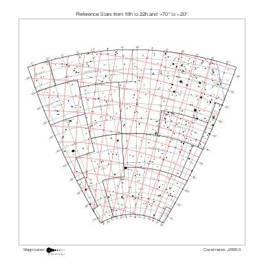
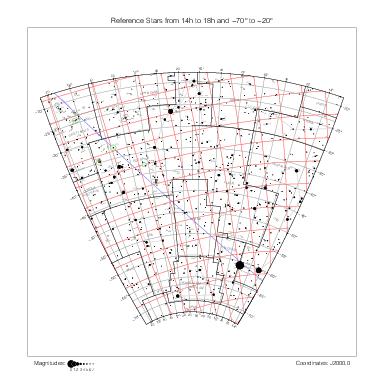
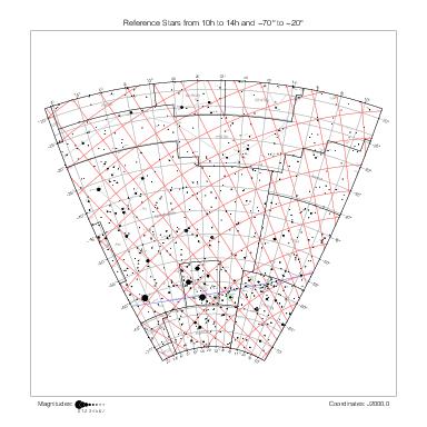
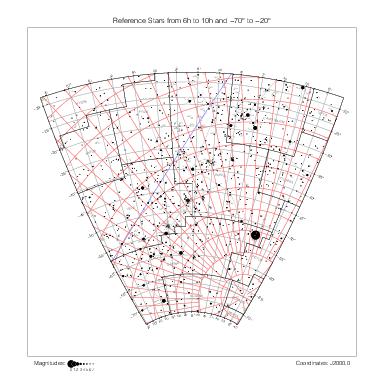
The general features of the maps are described on the historical catalogs page.
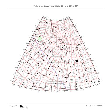
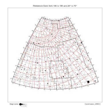
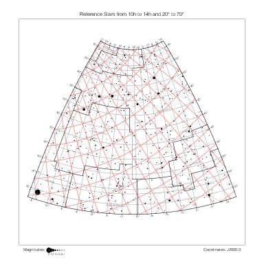
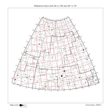
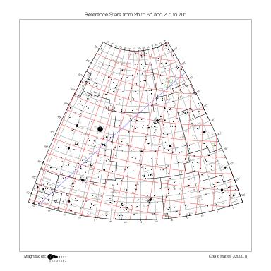
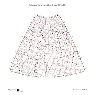
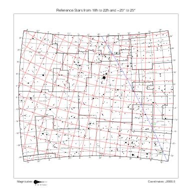
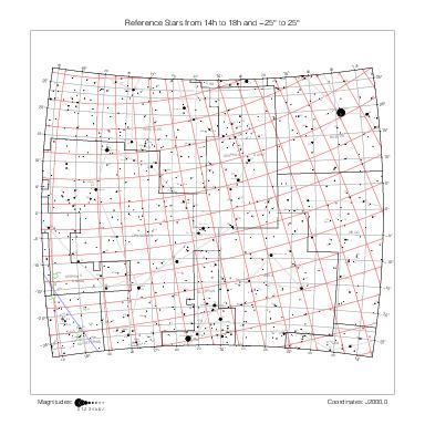
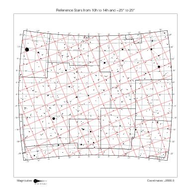
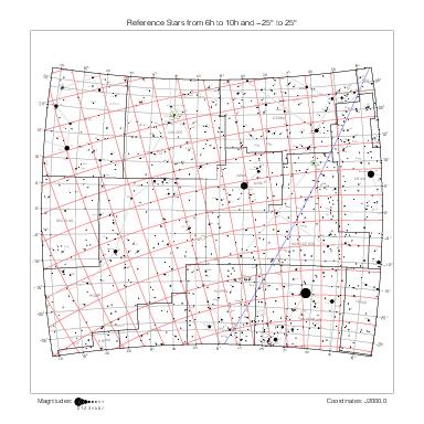
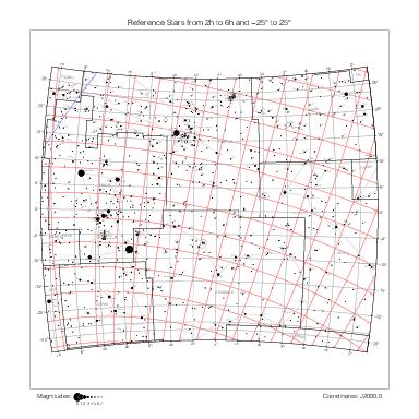
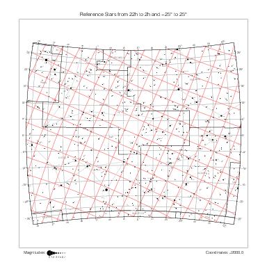
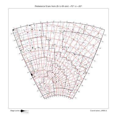
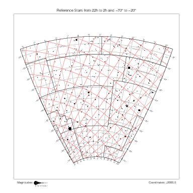
Tycho stars relevant to the map are labeled with an optional constellation abbreviation and number tnum within their constellation.
A dotted line connects catalog stars with corresponding reference stars according to the identifications collected in ident_o.dat (see the identifications page for details).
Maps by constellation
The maps below represent the stars of Tycho Brahe's catalogs one constellation at a time.
The maps follow the same constellation order as in Tycho's manuscript catalog. Antinous is grouped with Aquila and additional maps for Canes Venatici, Monoceros, Lynx, and Camelopardalis have been added so that every Tycho star appears on at least one map.
Zodiacal constellations
Aries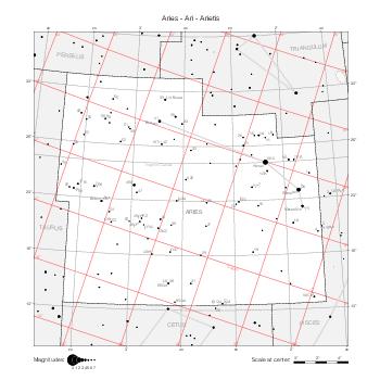
|
Taurus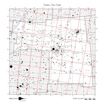
|
Gemini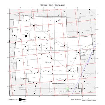
|
Cancer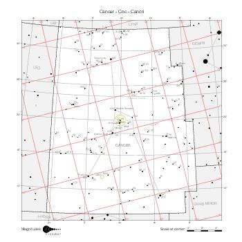
|
Leo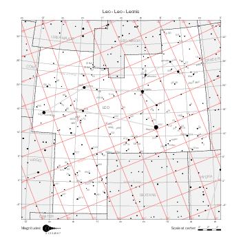
|
Virgo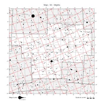
|
Libra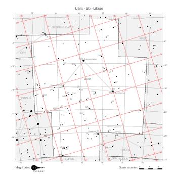
|
Scorpius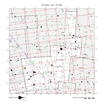
|
Sagittarius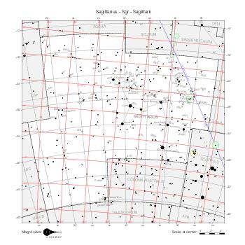
|
Capricornus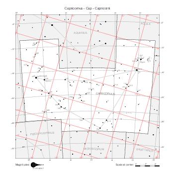
|
Aquarius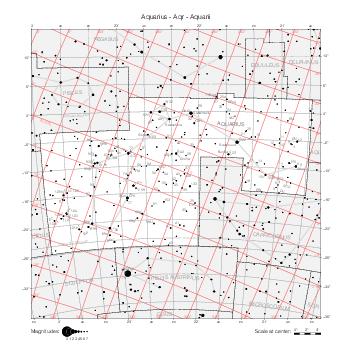
|
Pisces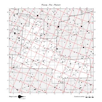
|
Northern constellations
Ursa Minor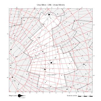
|
Ursa Major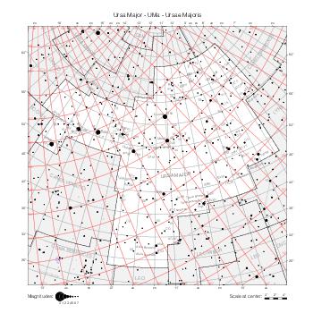
|
UMa in CVn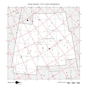
|
Draco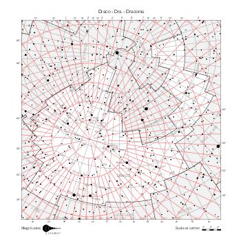
|
Cepheus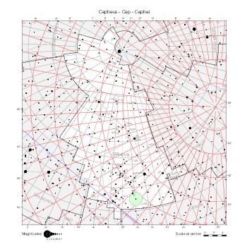
|
Boötes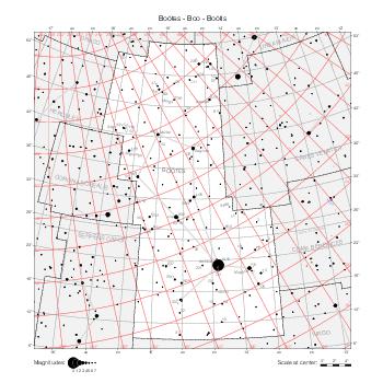
|
Coma Berenices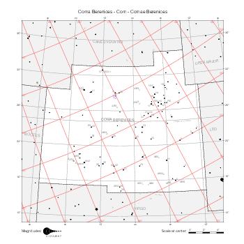
|
Corona Borealis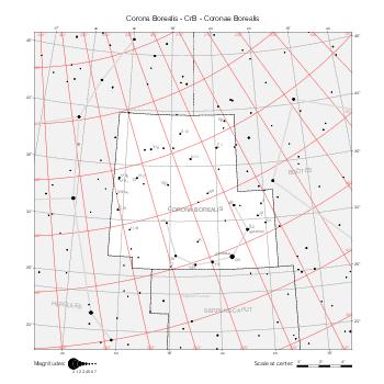
|
Hercules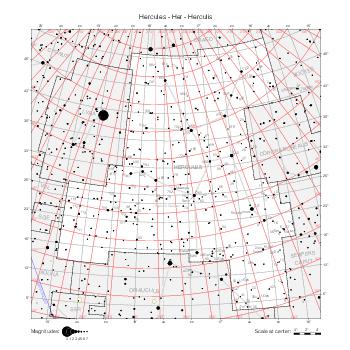
|
Lyra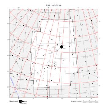
|
Cygnus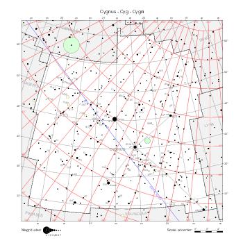
|
Cassiopeia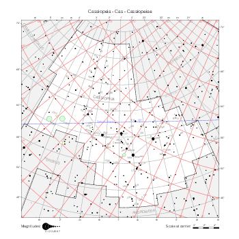
|
Perseus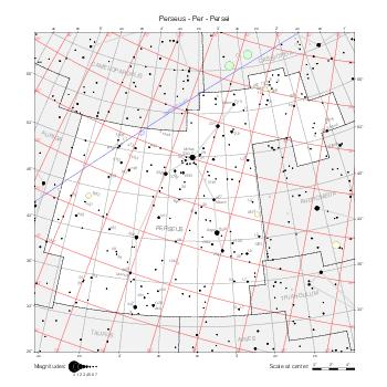
|
Auriga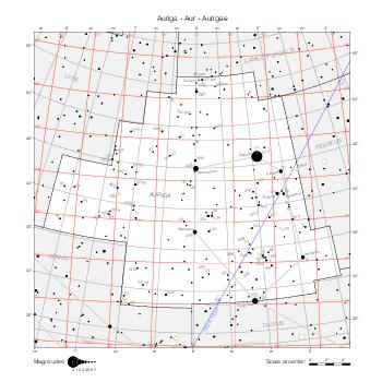
|
Ophiuchus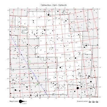
|
Serpens Caput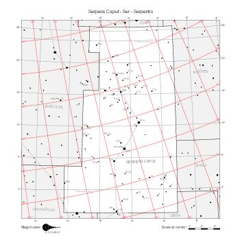
|
Serpens Cauda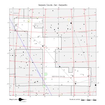
|
Sagitta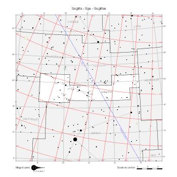
|
Aquila & Antinous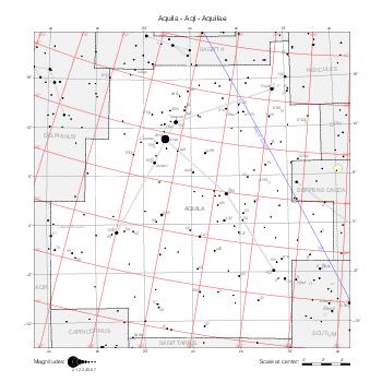
|
Delphinus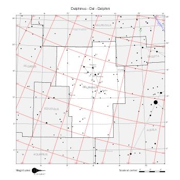
|
Equuleus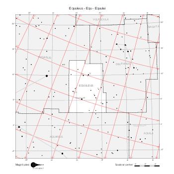
|
Pegasus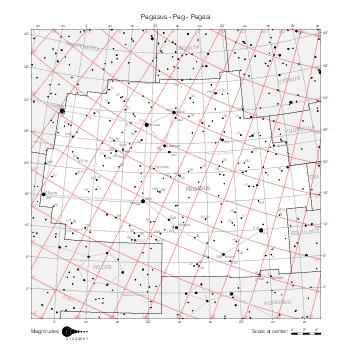
|
Andromeda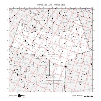
|
Triangulum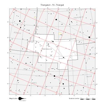
|
... in Lynx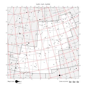
|
... in Cam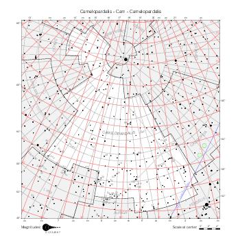
|
Southern constellations
Cetus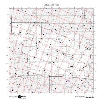
|
Orion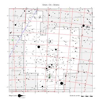
|
Ori in Mon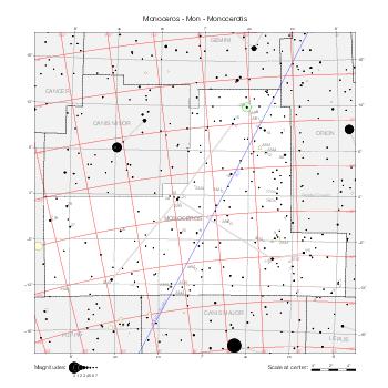
|
Eridanus (North)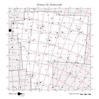
|
Lepus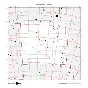
|
Canis Major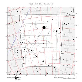
|
Canis Minor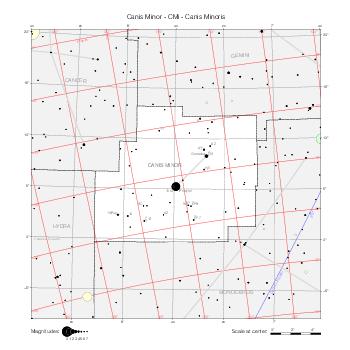
|
Navis (Puppis)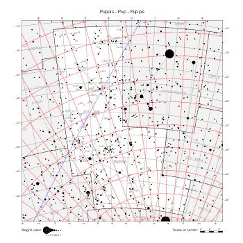
|
Hydra (W)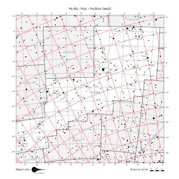
|
Hydra (E)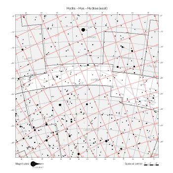
|
Crater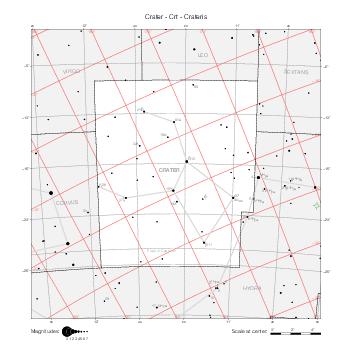
|
Corvus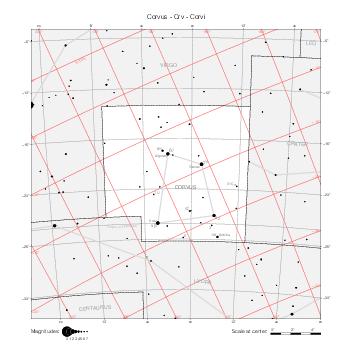
|
Centaurus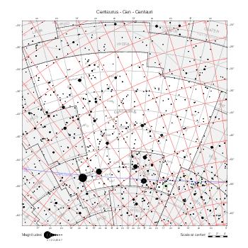
|
Maps by coordinate range
The maps below represent the same data, but they are delimited by equatorial coordinate lines (of the B1875.0 equatorial coordinate system, the reference for constellation boundaries). They show the star numbers and names in all constellations at the same time. They use the stereographic projection as well.
North Pole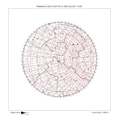
|
90° ~ 65° | |||||
| 22h ~ 18h | 18h ~ 14h | 14h ~ 10h | 10h ~ 6h | 6h ~ 2h | 2h ~ 22h | |
|
|
|
|
|
|
70° ~ 20° |
|
|
|
|
|
|
25° ~ -25° |
|
|
|
|
|
|
-20° ~ -70° |
| 22h ~ 18h | 18h ~ 14h | 14h ~ 10h | 10h ~ 6h | 6h ~ 2h | 2h ~ 22h | |
Maps by hemisphere
The following maps, in the azimuthal equidistant projection, cover celestial hemispheres seen from the six main directions of the B1875.0 coordinate system. They present the same contents as the maps above.
North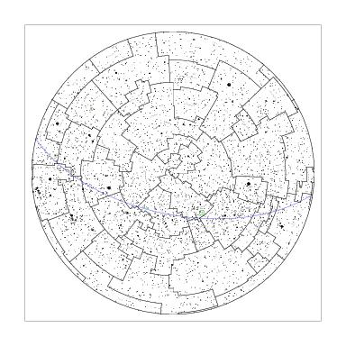
|
|||
Capricorn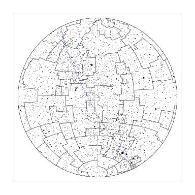
|
Libra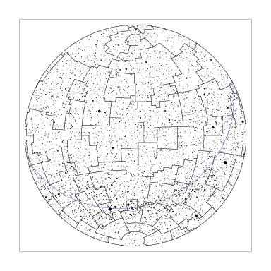
|
Cancer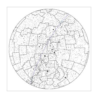
|
Aries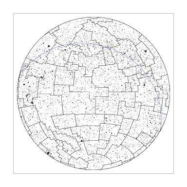
|
South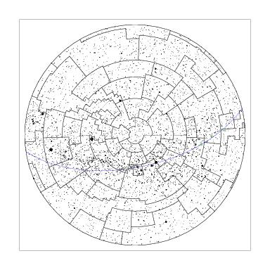
|
|||
References
[1] Frank Verbunt & Marc van der Sluys, Why Halley Did Not Discover Proper Motion and Why Cassini Did, Journal for the History of Astronomy, Vol 50(4), pp. 383-397, 2019.
[2] Dennis Rawlins, Tycho’s Star Catalog, DIO, Vol. 3, October 1993.
[3] John Louis Emil Dreyer, Tychonis Brahe Dani Scripta Astronomica, Tomus II, Hauniae in Libraria Gyldenlaliana, 1913.