


Description
The star maps below cover Halley's catalog in the equatorial and ecliptic coordinate systems corresponding to the catalog's equinox January 1, 1678 of the Julian calendar (Ad Annum Incarnationis 1677 completum, according to the catalog heading), or
| Julian Day | 2,333,948 |
| Besselian epoch | B1678.0313… |
| Julian epoch | J1678.0369… |
The ecliptic coordinate system corresponds to the obliquity value computed for that epoch according to the IAU 2006 precession model, close to 23°28'52".
Catalog entries are represented according to the ecliptic coordinates and magnitudes given in the catalog. Their representation and labeling follow the conventions described on the historical catalogs page. Magnitudes given as a range are "interpolated by halves", so that the range 3-4, for example, corresponds to the magnitude value 3.5.
A dotted line connects catalog stars with corresponding reference stars according to the identifications collected in ident_o.dat (see the identifications page for details).
Maps by constellation
The following maps cover the catalog, one constellation at a time. They are enumerated in the same order as the constellations in Halley's catalog. Robur Carolinum doesn't have its own map but is entirely visible on the Carina map.
Scorpius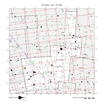 |
Sagittarius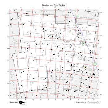 |
Eridanus (North)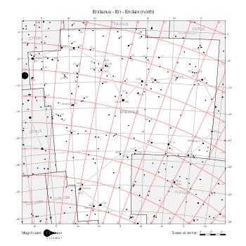 |
Eridanus (South)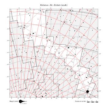 |
Canis Major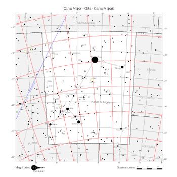 |
Piscis Austrinus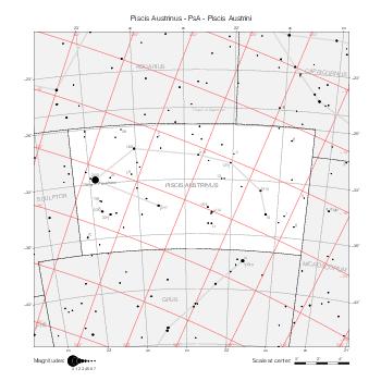 |
Columba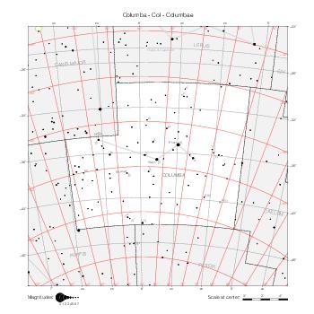 |
Navis (Puppis)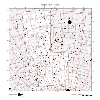 |
Navis (Vela)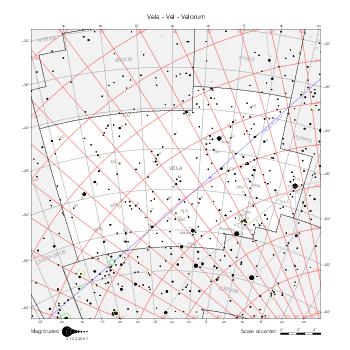 |
Navis (Carina)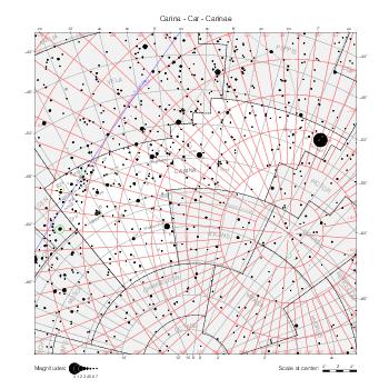 |
Hydra (West)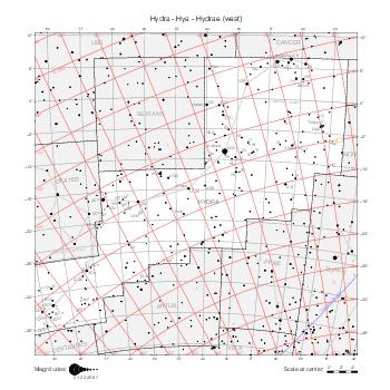 |
Hydra (East)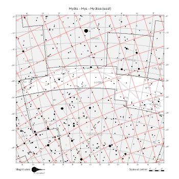 |
Centaurus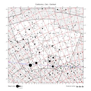 |
Lupus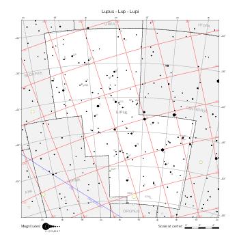 |
Ara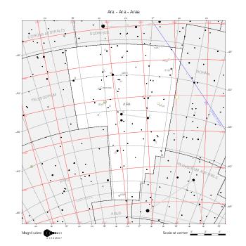 |
Corona Australis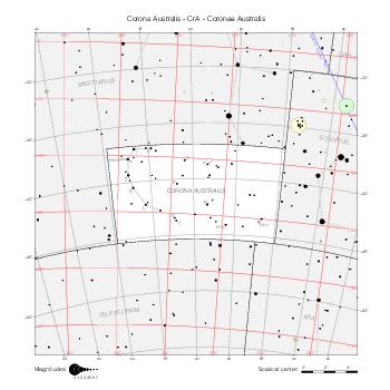 |
Grus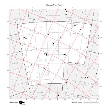 |
Phoenix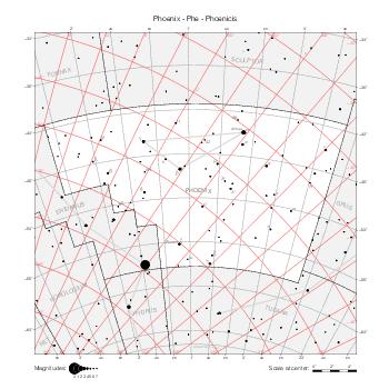 |
Pavo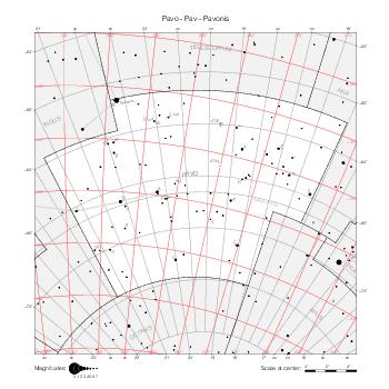 |
Apus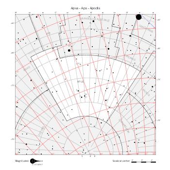 |
Musca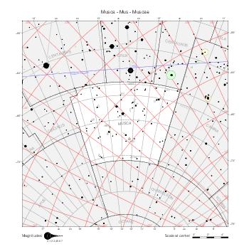 |
Chamaeleon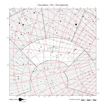 |
Triangulum Australe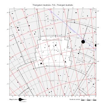 |
Volans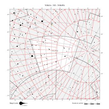 |
Dorado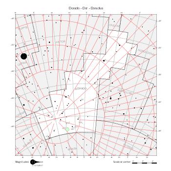 |
Tucana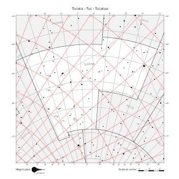 |
Hydrus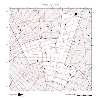 |
Maps by coordinate range
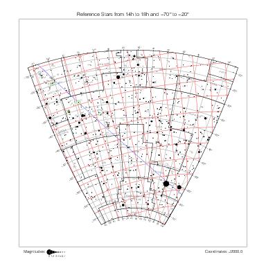
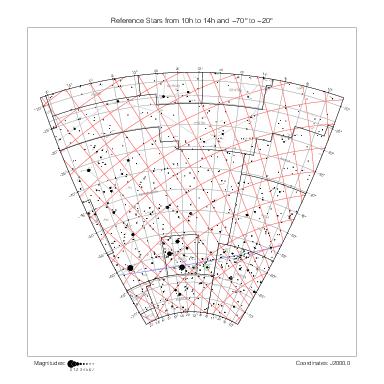
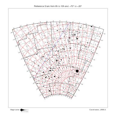
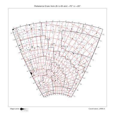
The following maps are delimited by equatorial coordinate lines of the B1875.0 equatorial coordinate system. They use the stereographic projection as well. They cover all the stars from Halley's catalog except Hya 5 which is farther north than all the others.
| 22h ~ 18h | 18h ~ 14h | 14h ~ 10h | 10h ~ 6h | 6h ~ 2h | 2h ~ 22h | |
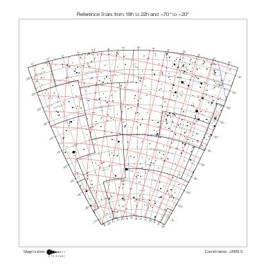
|
|
|
|
|
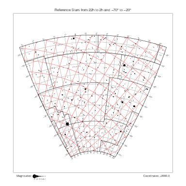
|
-20° ~ -70° |
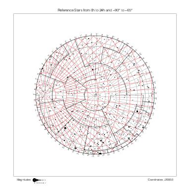
South Pole |
-65° ~ -90° | |||||
General map
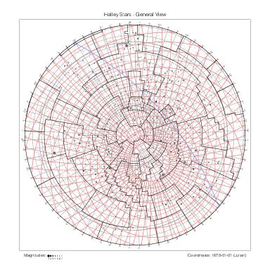
The following map gives a global view of Halley's catalog. It covers the whole catalog except its northernmost star Hya 5.
|
A beautiful planisphere of the southern hemisphere follows the star catalog in Halley [1]. Comparing it to this general map, it appears that the planisphere represents many more stars than the ones included in the catalog.
References
[1] Edmond Halley, Catalogus Stellarum Australium sive Supplementum Catalogi Tychonici. London: Thomas James, 1679.